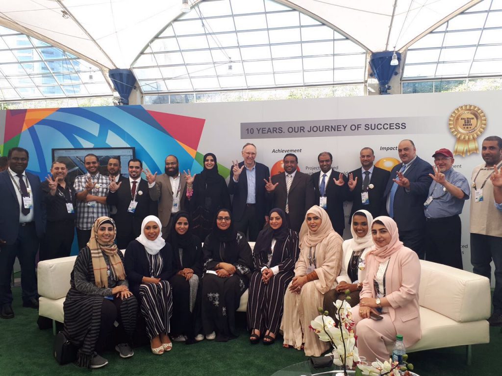
The Abu Dhabi Urban Planning Council (UPC) has developed an expert spatial team involving the use of geographic information system (GIS) mapping technology, and have subsequently beaten out 100,000 contenders worldwide for the Special Achievement in GIS (SAG) award that will be presented between July 10-14 at the 2017 Esri User Conference in San Diego, California.
While the UPC undertakes a number of projects involving the utilisation of GIS mapping technology, they were primarily recognised due to the Smart Geoplanner Enterprise Spatial Portal. This internal web portal uses a modern software to permit planners to streamline their arduous process. The portal allows planners to search, visually identify and track master plans, and planning processes and regulations for any location or area.
Esri President, Jack Dangermond, chose the UPCs spatial portal as one winner out of 175 in a variety of categories, keeping in mind the criteria of innovative and intelligent applications of GIS technology. The award has led to the portal being ranked as one of the best practice sites using GIS technology, inclusive of efficient planning.
Since the UPC is a government entity that is tasked with Abu Dhabis urban environments and their future prosperity, some of the most prominent plans in the region have involved the use of the spatial portal.
HE Falah Al Ahbabi, director general of the UPC, said: We pride ourselves on being a global leader in urban planning and that means we must embrace the latest technologies, such as GIS mapping and spatial data, to help our planners and partners deliver what is needed for the future of Abu Dhabi. It is fantastic for this to be recognised on a global scale.

