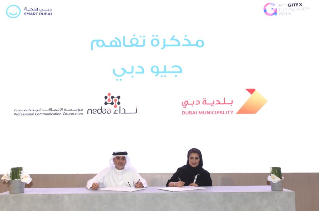
On the sidelines of GITEX 2019, Dubai Municipality signed a Memorandum of Understanding (MoU) with Professional Communication Corporation – Nedaa to collaborate in the field of Dubai Geospatial Infrastructure (Geo-Dubai).
The GIS center in the Municipality is the sole official source for collecting digital and descriptive geographical and detailed data and information for the emirate from different local departments, public authorities and institutions, persons and companies operating in the Emirate of Dubai.
Any entity other than this Center shall not have the right to provide geographical data and information (within the limits of the agreements and MoUs concluded between the Center and the originator of such data and information) to any entity wishing to benefit from them.
The MoU was signed by Eng. Mariam Obaid Al Muhairi, Director of GIS Center and Mansour Jumaa Bouasiba, Executive Director of Professional Communication Corporation – Nedaa.
Nedaa, established in 2008, is the first government institution in the UAE and the Middle East, specialized in providing high quality wireless telecommunication services to the public and private sectors.
The signing of MoU between Professional Communication Corporation – Nedaa and the Municipality is based on the keenness of both parties to lay the foundations of joint strategic cooperation between them as well as to benefit from the services they provide to ensure corporate integration between them, and developing and strengthening of relations of cooperation in order to contribute to regulating and coordinating the legal procedures and systems applicable to them, according to an institutional framework consistent with, and not conflicting with, the obligations and specializations of each other, and in line with the strategic plans of both the organizations.
The MoU aims to increase cooperation between the two parties in the field of promoting, developing and implementing the Geo-Dubai infrastructure, and to exchange expertise, information and available resources between them in order to provide a comprehensive, unified and updated baseline map for Dubai to be used as an effective tool for planning, design and management of development projects.
Al Muhairi said: “The Municipality is committed to fostering cooperation, alliance and coordination between the public and private sectors. Partnerships between the government and private companies provide benefits and advantages to the community, enabling us to achieve customer happiness, using the latest applications with high international standards.”
“Dubai Municipality has launched the Geo-Dubai Infrastructure Project, which aims to provide a comprehensive, unified and up-to-date baseline map for the Emirate of Dubai, as well as geospatial systems, to create and update planning maps, real estate, buildings and roads, services networks, aerial photographs, statistical and environmental maps, economic activity sites, etc., so that decision makers, investors and people working in this field, can access maps from one source easily and quickly, using the latest geotechnical technologies, which saves time and effort and contributes to the construction of a smart city. Geospatial maps are considered very important to provide various types of smart services,” she added.

